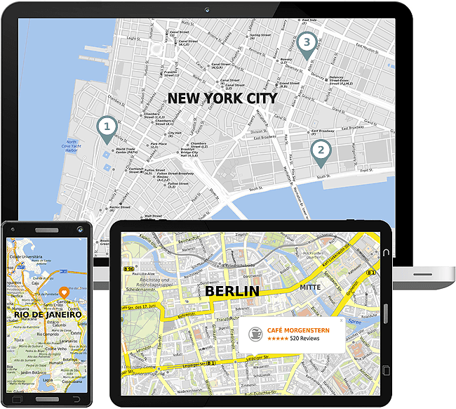
Tour operators and publishers are always trying to find attractive ways to present dream destinations to their customers. mapz.com offers everything from street-level presentation of a hotel location to multi-country overview maps.
Intuitive drawing tools allow individual points of interest to be added to maps manually, or imported from databases.
Along with high-resolution files for perfectly crisp prints, mapz.com offers embed codes and an API, which allow maps to be easily integrated into websites.

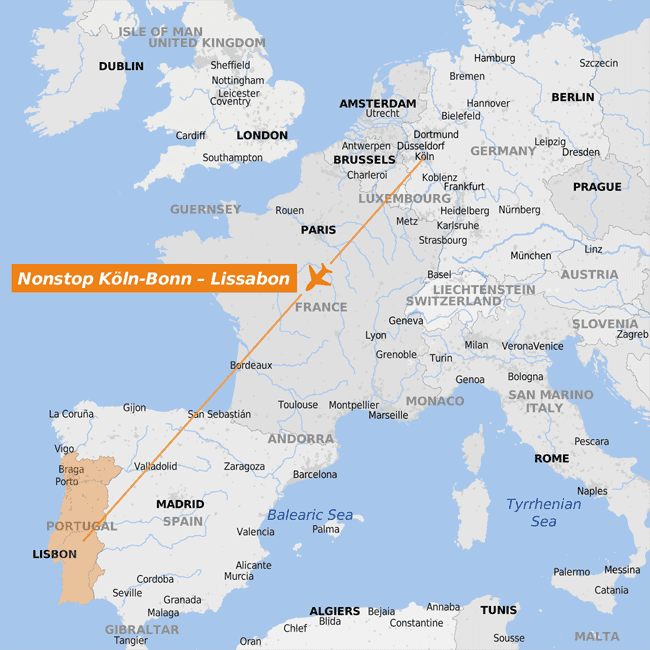
Our integrated drawing tools allow you to color cities and regions, or add locations, tour routes and labels, with just a few clicks of a mouse.
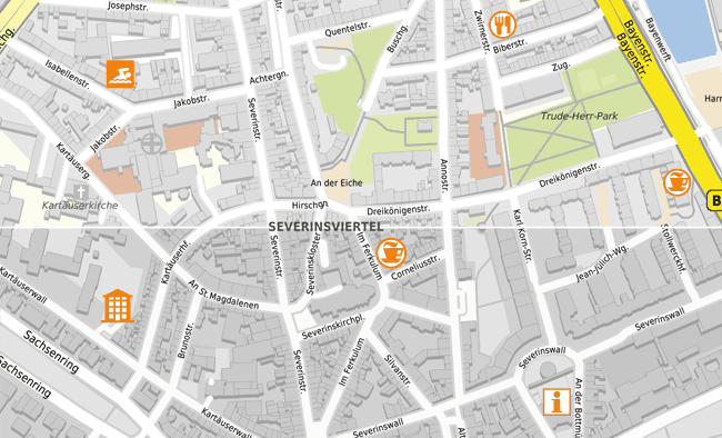
mapz.com also offers a comprehensive library of the most important pictograms for points of interest.
The size and color of marked areas can be set individually, so there is no need to edit the map in an additional graphics program.
The mapz search function allows locations and areas to be marked at the click of a mouse. Countries and continents can be highlighted instantly using country codes.
Numerous processes can be fully automated using the mapz.com API. It makes it easy to integrate maps in your pre-print workflow using simple database-driven retrieval.
For example, you can automatically update maps with POIs shortly before the publication of a travel guide or catalog, and add the same maps to your website. Online maps will be updated dynamically every time you make a change to your POI database or we amend our cartographic data.
A simple command offers access to high resolution maps for print production using our print API. For subsequent print productions and updated editions, you can download new files at the touch of button, update image files from Adobe InDesign or Quark XPress and start production immediately using the latest data.
→ Further information about the API
→ Further information about the print API